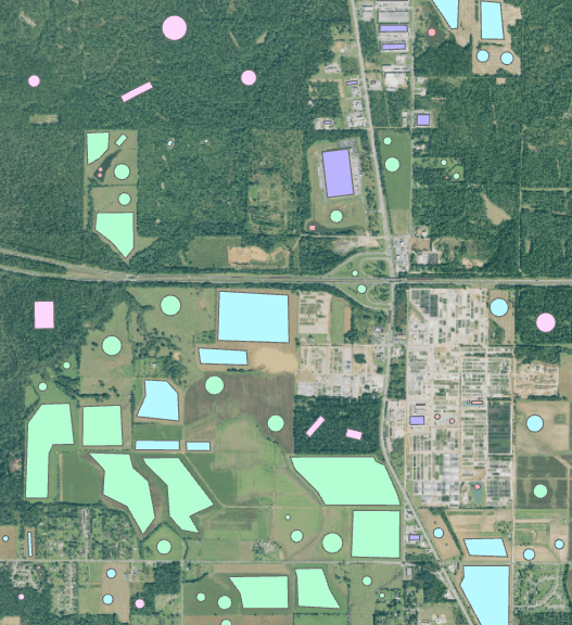
Enhanced Vegetation Index
The Harmonized Landsat and Sentinel-2 (HLS) produces seamless, harmonized surface reflectance data from the Operational Land Imager (OLI) and Multi-Spectral Instrument (MSI) aboard Landsat-8 and Sentinel-2 Earth-observing satellites, respectively. The aim is to produce seamless products with normalized parameters, which include atmospheric correction, cloud and cloud-shadow masking, geographic co-registration and common gridding, normalized bidirectional reflectance distribution function, and spectral band adjustment. This will provide global observation of the Earth’s surface every 2-3 days with 30 meter spatial resolution. One of the major applications that will benefit from HLS is agriculture assessment and monitoring, which is used as the use case here.
NASA's Land Processes Distributed Active Archive Center (LP DAAC) archives and distributes HLS products in the LP DAAC Cumulus cloud archive as Cloud Optimized GeoTIFFs (COG).
