Satellite Image Processing Applications
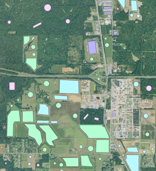
Enhanced Vegetation Index is extracted from Harmonized Landsat-8 Sentinel-2 (HLS) data in the Cloud.
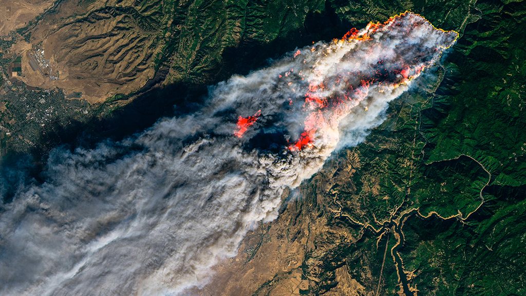
Detection and reporting of the sudden proliferation and destruction of wildfires that spiraled out of control when flames raged across the U.S. state of California. It might not be the last time. Freely available go-to sources constitute Landsat 8 data — kindly provided with the help of U.S. Geological Survey — as well as Sentinel-2 data.
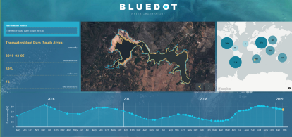
Distressed water levels result in conflicts (tension and fighting resulting from scarce water situations are becoming increasingly likely, according to recent research and covered by an Economist special report). Water detection algorithm can be used to extract surface water level for a single reservoir in a given time interval.
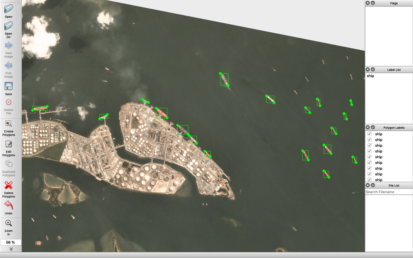
Ship detection using YOLOv3 and Planet Lab Satellite imagery
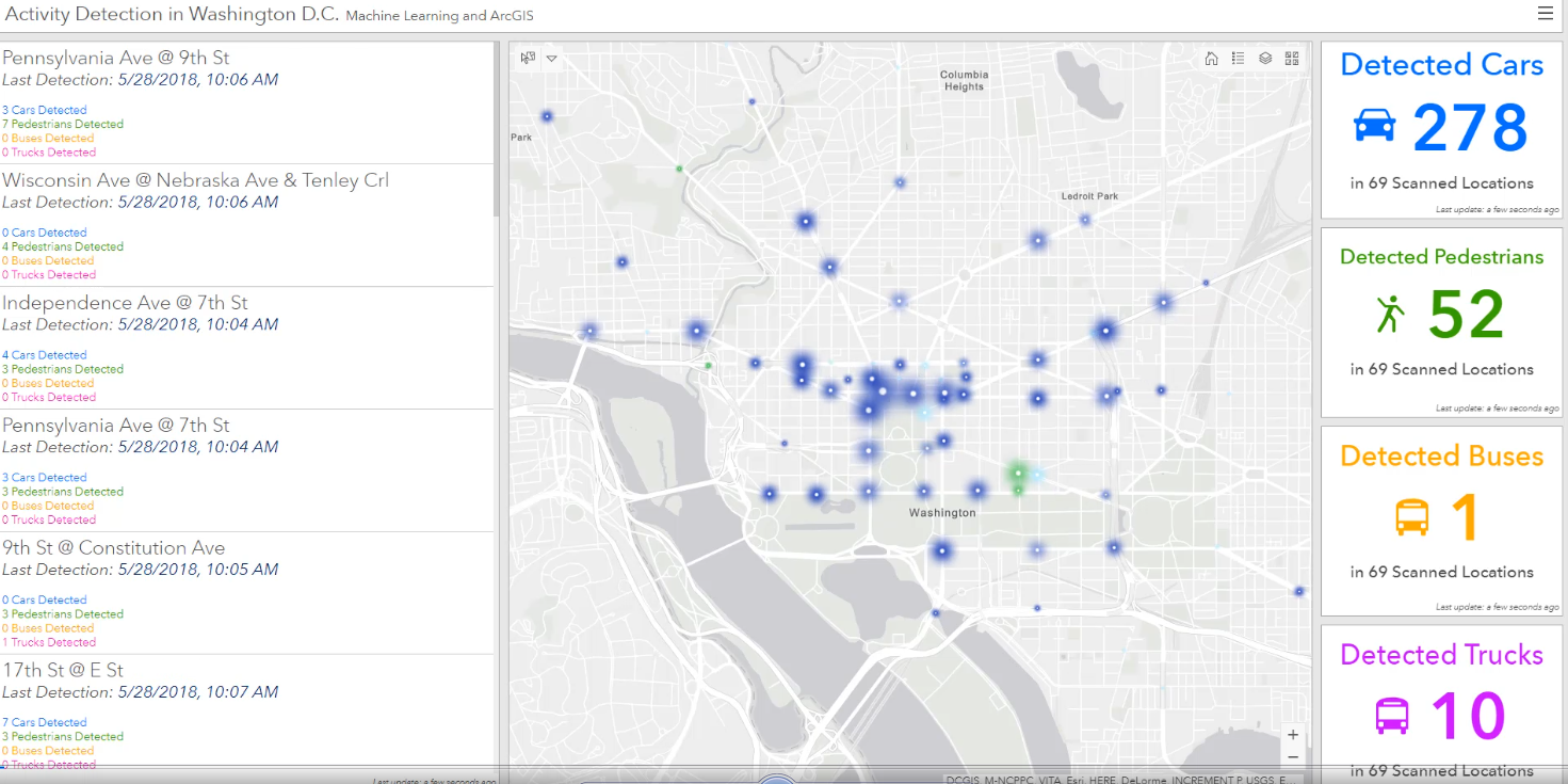
ArcGIS API for Python for working with maps and geo-spatial data, powered by web GIS. In addition to working with ArcGIS data, the library enables access to ready to use maps and curated geographic data from Esri and other authoritative sources.
